

CONFERENCE
On 16 February 2017, NpM held its conference on Geodata and ICT solutions. The conference was based on developments in technological applications based on satellite data, which can provide useful information to increase outreach of financial services to rural areas and smallholder farmers. Early evidence suggests that these applications offer great promise to produce higher and more stable crop supply of increased quality.
The use of geodata helps to reduce risk profiles of smallholder farmers, which is an important stimulus for financial institutions to provide financial services. At the same time, this information can directly reduce monitoring and transaction costs and further improve access to finance. The aim of the conference was threefold: (1) inspire, (2) exchange knowledge and (3) offer networking opportunities.
Header image credit: S. Samuel CCAFS
NpM Conference Aftermovie
MINUTES OF THE BREAKOUT SESSIONS
REPORTS AND PUBLICATIONS
In light of a growing demand for food, smallholder farmers are crucial in supplying the world with sufficient food. In order to achieve this much needed growth, access to affordable and appropriate finance is key for smallholder farmers. On the other side, financial institutions see agriculture lending as risky and costly and do not easily lend to smallholder farmers. A study commissioned by NpM showed that lack of understanding of agriculture at the financial institution’s level leads to overestimation of the risks and costs involved. At the same time new technologies and Information and Communication Technologies (ICTs) are now being used to boost production. ICT information systems are able to address knowledge gaps at farmer level. New ICT solutions in banking assist to reach out to remote rural areas and new groups of smallholders. Through ICT applications in banking, costs of financial service delivery have reduced while outreach has improved. How can these developments in agriculture on the one hand, and finance on the other, be combined to improve finance for smallholders to the required levels?
https://www.inclusivefinanceplatform.nl/wp-content/uploads/2019/04/npm-geodata-and-ict-solutions-for-inclusive-finance-and-food-security.pdf
This inventory of technology report gives an overview of 34 geodata applications and their potential added value for inclusive finance. The report states that for a long time the application of solutions involving satellite data was considered only appropriate for large, commercial farms but thanks to advances in mobile communication, availability of free data and the Geodata for Agriculture and Water (G4AW) Facility satellite applications become feasible for smallholders in developing countries. The main areas in which geodata can support financial inclusion are:
1. Support for financial operations,
2. Improving agricultural performance,
3. Provision of historical records,
4. Risk management.
https://www.inclusivefinanceplatform.nl/wp-content/uploads/2019/04/20180517geodata-for-inclusive-finance-and-food-inventory-of-technology-.pdf
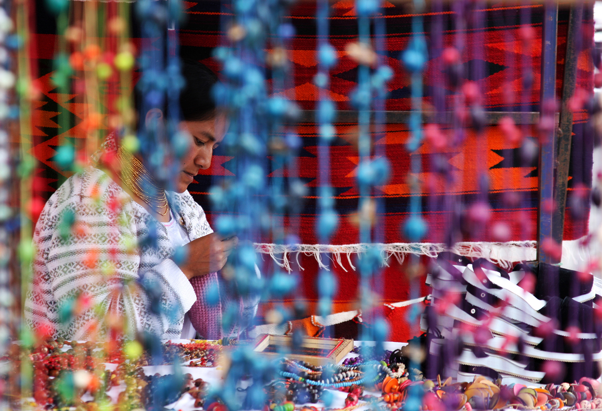
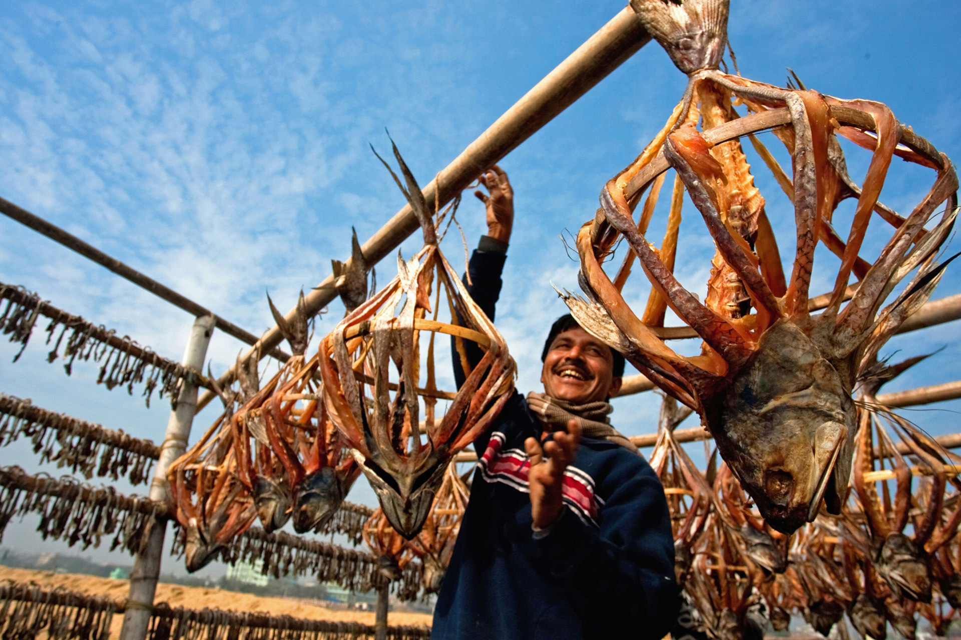
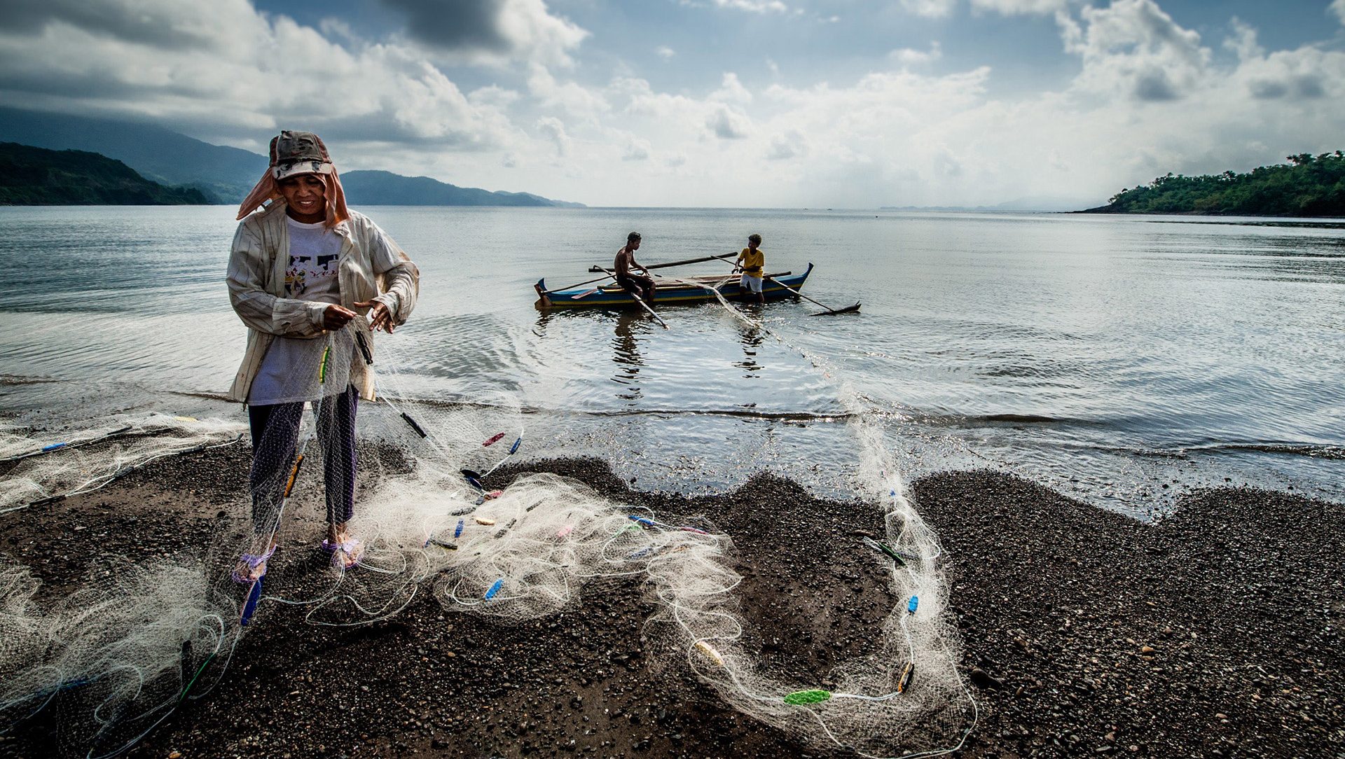
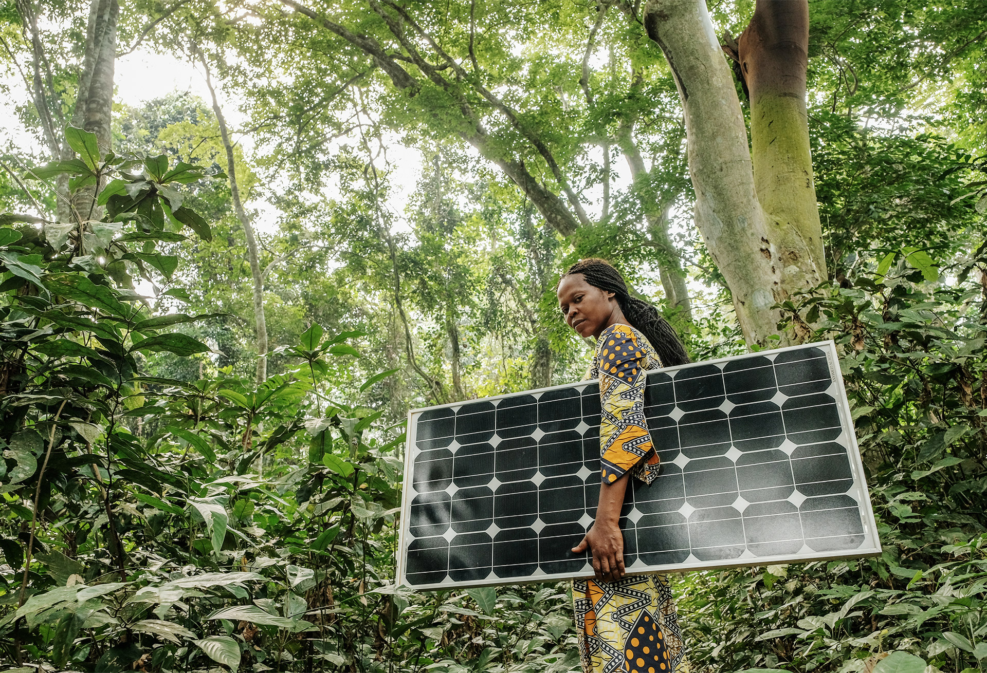
CONFERENCE PHOTOS


