GEODATA FOR INCLUSIVE
As of 2021, the Geodata for Inclusive Finance and Food workgroup merged with the Rural Finance expert group, into a new workstream: Digital Transformation in Agriculture.
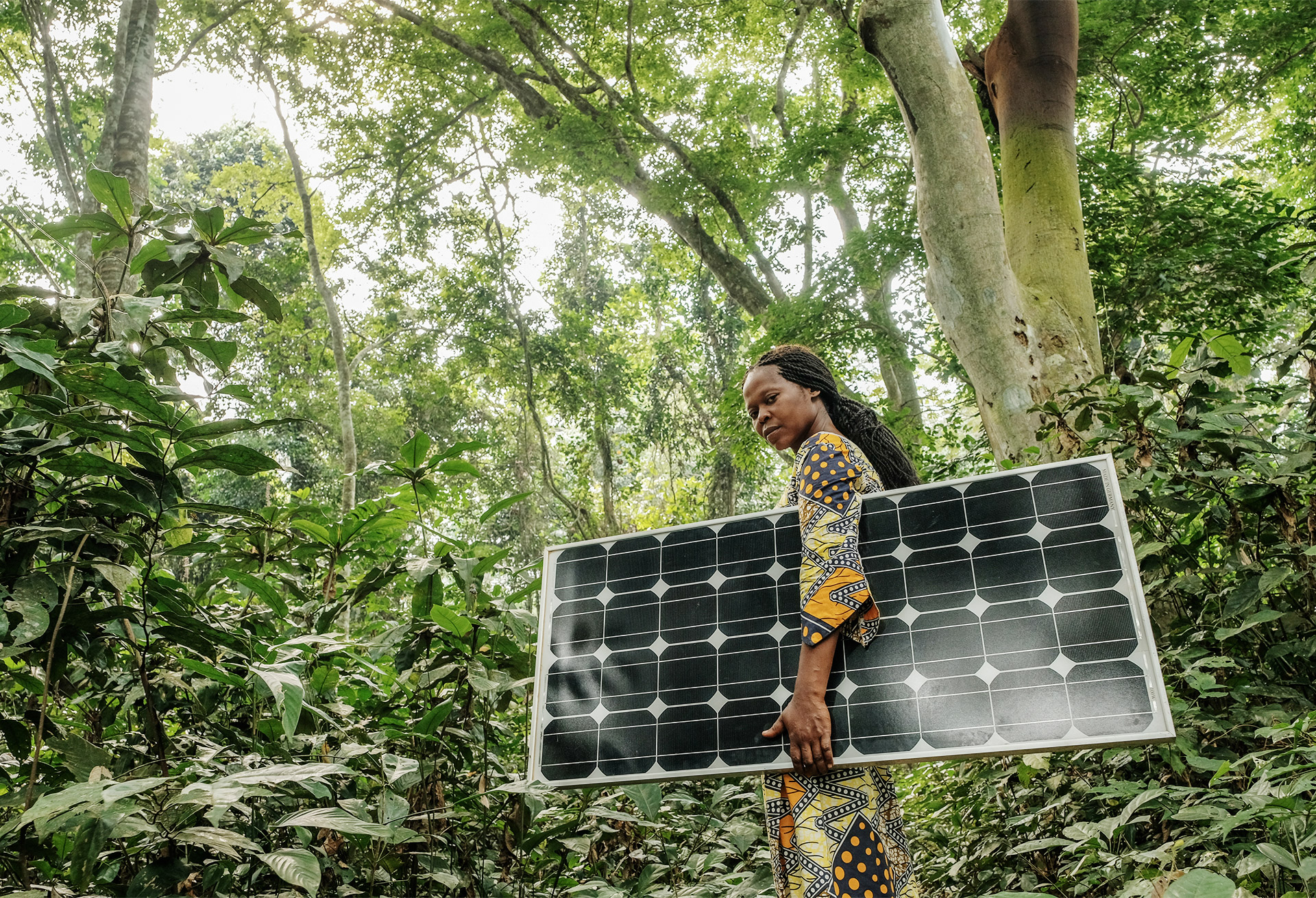
The Geodata for Inclusive Finance and Food (G4IFF) workstream focuses on the use of geospatial information to increase access to financial services for smallholder farmers.
With the world population projected to reach 9.7 billion in 2050, the demand for food is growing rapidly. Knowing that smallholder farmers provide over 70% of our food, the G4IFF workstream aims to support them in realizing higher yields, constant supplies and better-organised value chains. This is done by promoting the use of geospatial information and improving the access to financial services such as input finance, working capital, and investment capital. Access to affordable and appropriate finance is crucial for smallholder farmers to keep up with the growing demand.
Financing agriculture is often considered too costly and too risky by Financial Institutions (FIs). The use of geodata technology provides an innovative solution for smallholder farmers as it promises higher and more stable crop supply and can improve access to markets. Access to geospatial information improves their food production and thereby lowers their risk profile, making them viable clients for FIs.
For FIs, geodata technology can be used to improve credit scoring models, for example through data on weather, drought, and soil moisture. This information improves risk management, reduces monitoring and transaction cost, and increases outreach of financial services for smallholder farmers in rural areas.
Through the Geodata for Agriculture and Water (G4AW) programme, executed by the Netherlands Space Office (NSO), the Dutch government committed 60 million Euros to fund partnerships that developed geodata-based applications for farmers using satellite imagery. Building on this, NpM partnered with Rabobank, FMO, ICCO, NSO and Bill and Melinda Gates Foundation to set up the Geodata for Inclusive Finance and Food (G4IFF) workstream. The G4IFF workstream aims to adapt these geodata-based applications in order to make them available for FIs.

GEODATA FOR INCLUSIVE FINANCE AND FOOD PARTNERS


G4IFF ACTIVITIES
G4IFF Innovator’s Challenge
To promote the use of geodata, NpM organized the Innovator’s Challenge for tech and FinTech companies. Participants were challenged to develop geodata-based applications for FIs to facilitate the financing of smallholder farmers in emerging economies. Accenture delivered an intense accelerator programme, ending with six finalists who pitched their solutions at the Accenture Innovation Awards Summit. The three winning innovators are: Agri-wallet, Apollo Agriculture, and VanderSat.
Funds Database for AgTech
Once companies have integrated geospatial information into their operations, financing is key for upscaling. At the request of NSO, NpM created a database of funds providing risk-bearing capital, to consolidate this information for companies active in the agriculture sector.
Geodata & ICT Map
NpM has mapped over 200 cases of Geodata and ICT technologies currently being used to boost production, market access and access to finance for smallholder farmers.
G4IFF REPORTS
Geodata for Inclusive Finance: Data Privacy Study
In coordination with NpM, MFR conducted research on privacy risks in the use of geodata in digital financial services for agriculture. The research draws on MFR’s own experience in client data privacy, insight gained from case studies conducted (including interviews and review of documents) on FSPs which have integrated the use of geodata in their agriculture loan products, and desk research.
This report contains key issues identified regarding the collection, storage, use, and sharing of client geodata with a focus on best practices, challenges, as well as arising open questions.
https://www.inclusivefinanceplatform.nl/wp-content/uploads/2019/11/NpM-Geodata-for-Inclusive-Finance-Data-Privacy-Study.pdf
Summary Report: Geodata for Inclusive Finance and Food
On 24 June, NpM hosted its seminar of “Geodata for Inclusive Finance & Food” in Nairobi. As a pre-day event to the SPTF and Smart Campaign’s Summit on “Inclusive Digital Future”, we heard from each of the winners of the NpM Innovator’s Challenge – Agri-wallet, Apollo Agriculture, and VanderSat – about their projects and the opportunities of geodata. Their insights gave way to an interactive Q&A session about the innovative practicality of their applications.
The second part zoomed in on the issue of data privacy when using geodata-based information. Isabelle Barrès of the Smart Campaign introduced major data privacy issues and the client protection principles. Ben Wellington of MicroFinanza Rating (MFR) then provided emerging good practices coming from case studies with FinTechs.
The seminar ended in lively group discussions reflecting on the great potential of geodata, but also the risks that the use of geodata-based information could carry.
https://www.inclusivefinanceplatform.nl/wp-content/uploads/2019/07/NpM-Seminar-on-Geodata-for-Inclusive-Finance-and-Food.pdf
Summary Report: Deep-dive in Geodata for Investors
Experts, investors, and practitioners gathered to explore the potential of geodata for inclusive finance and food security at the NpM expert meeting. Guest speakers from different sectors – financial inclusion, agriculture, and geospatial information – shared their know-how and four practitioners presented their geodata projects. This led to a lively discussion which NpM will follow up on.
https://www.inclusivefinanceplatform.nl/wp-content/uploads/2019/04/Summary_NpM-Expert-Meeting_Deep-dive-in-Geodata-for-Investors-1.pdf
Geodata and ICT Solutions for Inclusive Finance and Food Security: Innovative Developments – An overview
In light of a growing demand for food, smallholder farmers are crucial in supplying the world with sufficient food. In order to achieve this much needed growth, access to affordable and appropriate finance is key for smallholder farmers. On the other side, financial institutions see agriculture lending as risky and costly and do not easily lend to smallholder farmers. A study commissioned by NpM showed that lack of understanding of agriculture at the financial institution’s level leads to overestimation of the risks and costs involved. At the same time new technologies and Information and Communication Technologies (ICTs) are now being used to boost production. ICT information systems are able to address knowledge gaps at farmer level. New ICT solutions in banking assist to reach out to remote rural areas and new groups of smallholders. Through ICT applications in banking, costs of financial service delivery have reduced while outreach has improved. How can these developments in agriculture on the one hand, and finance on the other, be combined to improve finance for smallholders to the required levels?
https://www.inclusivefinanceplatform.nl/wp-content/uploads/2019/04/npm-geodata-and-ict-solutions-for-inclusive-finance-and-food-security.pdf
Geodata for Inclusive Finance & Food: Inventory of Technology
This inventory of technology report gives an overview of 34 geodata applications and their potential added value for inclusive finance. The report states that for a long time the application of solutions involving satellite data was considered only appropriate for large, commercial farms but thanks to advances in mobile communication, availability of free data and the Geodata for Agriculture and Water (G4AW) Facility satellite applications become feasible for smallholders in developing countries. The main areas in which geodata can support financial inclusion are:
1. Support for financial operations,
2. Improving agricultural performance,
3. Provision of historical records,
4. Risk management.
https://www.inclusivefinanceplatform.nl/wp-content/uploads/2019/04/20180517geodata-for-inclusive-finance-and-food-inventory-of-technology-.pdf